“yey'maps' mapping program has been a great asset within our company and for our clients.
Any time we need assistance, their staff is quick to respond and will resolve any issues efficiently. Highly recommend.”
“yey'maps is an easy and affordable way to design and generate online maps.
It's been very useful for my clients so far.”
Smart Tools to Get Things Done
No single data silos. Get perfectly coordinated applications that communicate with each other.
Stop wasting time and resources on manual data wrestling and waiting for data access from other departments.
Foster a more collaborative environment, where different teams can work together on the same projects using shared, up-to-date information.
Centralized Data Management
Single source of truth, no silos
Real-time access & collaboration
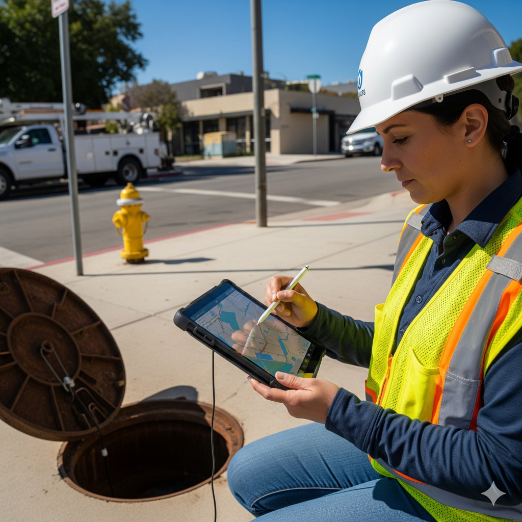
Field & office connectivity, 311 response
Asset Management & Maintenance
Predictive & preventive maintenance
Better decision making & reporting
See immediately what needs attention
Cost & Efficiency Gains
Budget friendly solution with all the tools you need
Why yey'maps?
Small towns and utility companies, in particular, face unique challenges: limited staff, tight budgets, and many responsibilities at once.
yey'maps is built exactly for that. Our platform helps you manage tasks efficiently, practically, and as a team – without complex technology or long training times.
yey'maps proudly partners with these associations and companies
Schedule a 30 minute demo with us.
We will answer your questions briefly and concisely, and if desired, we can set up a test environment for you.